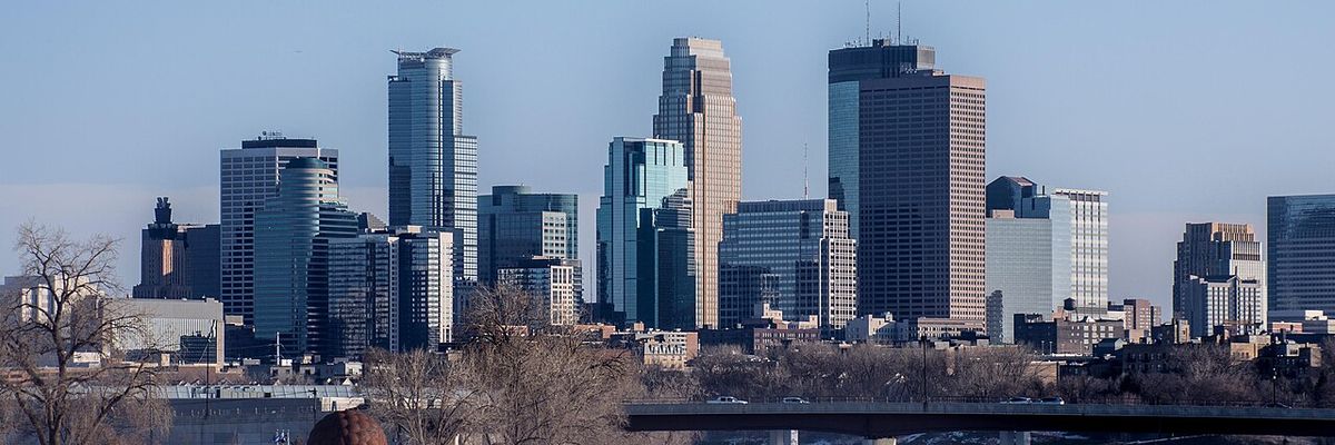
Minneapolis, MN is in for one of the nicest Saturdays of early June — sunny skies and a high near 87°F after early morning fog burns off, so get outside early and make the most of it before a stormy stretch returns Sunday evening.
Today’s Setup
The National Weather Service is tracking patchy fog across the Twin Cities metro through about 7 AM CT. Once that lifts — and forecasters expect it to burn off quickly after sunrise — expect wall-to-wall sunshine all day. North winds stay nearly calm at 0 to 5 mph, and dewpoints will actually drop into the mid-to-upper 50s this afternoon as drier air filters in. That means 87°F will feel genuinely comfortable rather than sticky. NWS forecasters put it well: today is a great day to tackle any outdoor projects you’ve put off. They’re not wrong.
Best Window To Be Outside
All day is fair game — this one is clean start to finish. Head to Lake Harriet, Minnehaha Falls, or Theodore Wirth Park for the morning. Set up a badminton set in the backyard after lunch. The Saturday night low holds near 65°F with mostly clear skies and a light southeast breeze around 5 mph — prime patio weather well into the evening.
Twins Game and Local Events
The Minnesota Twins host the Kansas City Royals at Target Field today (June 6) and it’s also Royce Lewis Jersey Night — outdoor conditions could not be better. Sunny, 87°F, nearly calm winds. Grab your Minnesota Twins jersey or a Minnesota Twins fitted cap before heading downtown. Tickets are still available — Get tickets on SeatGeek if you’re deciding last minute. A Yeti hopper soft cooler is a smart call if you’re tailgating near the stadium before first pitch. Check our Target Field gameday weather guide for full conditions and timing.
Also tonight: Little River Band plays The Ledge Amphitheater — an outdoor venue that’ll be gorgeous in this weather. Find tickets on StubHub if you want a live-music Saturday night.
Rain and Heat Risk Ahead
Sunday starts nearly as nice — mostly sunny, high near 88°F — but the National Weather Service says showers and thunderstorms become possible after 3 PM CT (30% chance), with chances rising to around 60% Sunday night as an upper-level low lifts north from the Plains into the Upper Midwest. Expect on-and-off thundershowers to linger into Monday. Rainfall totals will vary: some spots may see little, others could see locally heavy rain.
Looking further ahead, NWS forecasters are flagging a significant heat surge mid-week, with highs in the 90s and heat indices potentially exceeding 100°F. That’s worth planning around now. An inflatable family pool in the backyard could earn its keep by Wednesday. Stay updated at the Minneapolis weather forecast as heat advisory details come into focus.
What To Wear Or Bring
Today: light layer for the foggy start, then shorts and a t-shirt all afternoon. Sunday: bring a rain jacket to any afternoon outdoor event — storms can fire quickly after 3 PM CT. For the mid-week heat, Father’s Day is June 21 and a Father’s Day grilling set is a timely gift if dad likes to cook outdoors during the heat. Check our outdoor gear deals for summer essentials.
Tonight’s Dinner
With 87°F sunshine and a light breeze, keep it easy — pasta primavera with fresh summer vegetables, or a quick stir-fry that won’t heat up the kitchen. Need ingredients? You can order groceries on Amazon and have everything delivered before dinner so you can stay outside a little longer.
Next Few Days
- Saturday night: Mostly clear, low near 65°F. Enjoy it.
- Sunday: Mostly sunny, high near 88°F. Storms possible after 3 PM CT; plan outdoor events for the morning.
- Sunday night–Monday: On-and-off thundershowers, some locally heavy rain possible.
- Mid-week: Heat builds fast — 90s with heat indices potentially topping 100°F. Watch for heat advisories.
