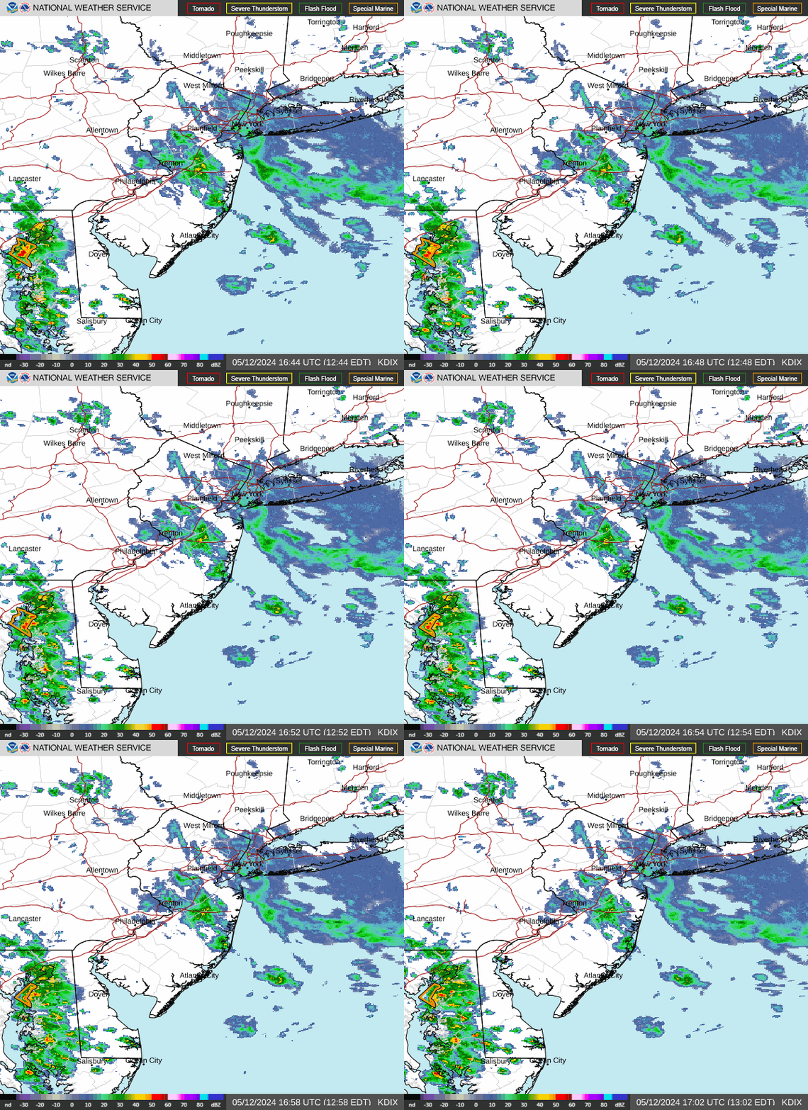
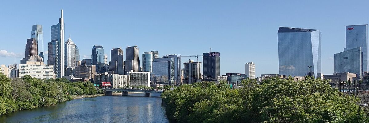
Philadelphia sits under mostly cloudy skies today with a high near 87°F, and the National Weather Service says showers and thunderstorms move in after 2 PM ET — so get your outdoor plans done this morning while it’s dry, because the humidity and rain chances only climb from here.
Today’s Setup
The NWS Mount Holly Area Forecast Discussion says an upper-level trough digging into the Tennessee and Ohio valleys is pulling deep south-to-southwest flow into our area, cranking up moisture with precipitable water values surging to 2+ inches. That’s the fuel behind today’s 40% chance of afternoon storms, and forecasters note the system is trending slower, meaning the heaviest rounds hold off until tonight and especially Monday.
Best Window To Be Outside
Your driest stretch is this morning through early afternoon, before the 2 PM storm chances ramp up. That’s the window for a Schuylkill River Trail walk, a workout, or heading to Subaru Park for Sunderland FC vs Wrexham AFC this afternoon. If you’re catching Third Eye Blind tonight at the Musikfest Wind Creek Steel Stage Patio, know that tonight’s forecast carries an 80% chance of showers and thunderstorms with a half to three-quarters of an inch of rain possible — a packable rain jacket or compact travel umbrella is worth tossing in the bag.
Rain, Wind, Fire, Or Heat Risk
Both the NWS and the Weather Prediction Center have flagged a slight risk of excessive rainfall for our region, with rain rates of 1-2 inches per hour possible if storms train over the same areas — that’s a real flash flood setup, especially in low-lying and poor-drainage spots. The AFD also notes a risk for strong to severe thunderstorms as this system matures tonight into Monday. South winds stay light today (5-10 mph), but gusty storm outflow is possible with any thunderstorm, so it’s a smart night to double-check patio furniture and grills with a ratchet tie down strap kit before you turn in.
What To Wear Or Bring
Waterproof hiking boots beat sneakers if you’re out and about this evening or tomorrow, and a packable rain jacket earns its keep both today and Monday, when showers and thunderstorms return before 1 PM, ease briefly, then fire back up. With flash flooding a possibility, it’s not a bad time to keep an eye on your property remotely — a Wyze Cam Pan v4 4K Security Camera is a simple way to check on flooding or storm damage while you’re out.
Phillies Homestand & Local Events
The Philadelphia Phillies host the Washington Nationals at Citizens Bank Park Monday through Wednesday (Aug. 3-5), and Monday’s opener lines up with a 90% chance of showers and thunderstorms — pack ponchos and expect possible delays for any tailgating. Grab a Philadelphia Phillies jersey or Philadelphia Phillies fitted cap before first pitch, and get tickets on SeatGeek or find tickets on StubHub. Monday also brings Train to the Wind Creek Steel Stage at PNC Plaza — check the radar before you head out given the storm timing.
Dinner Tonight
With storms rolling through, tonight’s a lock for comfort food — think slow cooker chili or a big pot of Dutch oven beef stew while the rain comes down. A programmable slow cooker or an enameled cast iron Dutch oven makes it easy. Need ingredients? You can order groceries on Amazon and have everything for tonight’s dinner delivered to your door.
Next Few Days
Monday stays unsettled with a high near 83°F and showers and thunderstorms likely most of the day, dropping to a low around 69°F Monday night with storm chances continuing near 86%. Forecasters note the system could stall as it approaches, so keep an eye on updated NWS guidance for the Phillies’ Tuesday and Wednesday games. For more storm-ready gear, check out our outdoor gear deals.